15. 03. 2018
THE ROLE OF HAZARD ASSESSMENT FOR THE CITY SERVICES RESILIENCE
BY RUTH LOPES, HIDRA
Evaluating urban resilience requires the understanding of the cities’ fragilities. By understanding the urban vulnerabilities, decision makers can evaluate the best possible path to endure the shocks and stresses that pose real threats to cities. In the framework of the RESCCUE project, work package 4 team works with the Hazur tool in order to provide crucial data on urban services, considering a holistic approach.
Nonetheless, a strong question emerges when decision makers feel the need to implement adaptation measures: at which level is my service and infrastructures affected or could be potentially affected by climate change events?
The work packages 2 and 3, related to hazards and risk assessment, respectively, are providing an answer to this question by modelling the consequences of events related to climate change on critical urban services. Taking the advantage of the multi-sectorial RESCCUE partners’ experience, sectorial models are being developed and applied in such a way that its results might be integrated, resulting in holistic hazard and risk assessments built under a bottom-up strategy.
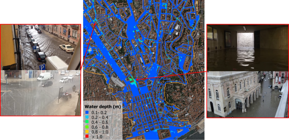
HIDRA (Hidráulica e Ambiente Lda.), one of the Portuguese RESCCUE partners, is currently working at a couple 1D/2D Hydraulic-Hydrology model in such a way that areas prone to flooding can be defined by simulating the performance of both drainage/sewerage networks and runoff, with a special concern for the inlets behaviour. This model is being developed at two critical drainage basins, which include two of the main avenues of the Lisbon city: Av. da Liberdade and Av. Almirante Reis, and drain to the downtown area. From this model, the drainage/sewerage networks response to extreme precipitation events and the associated results in terms of flooded areas can be used by other sectorial models, such as transports or energy distribution, improving the looked-for multi-sectorial analysis.
Moreover, HIDRA and LNEC, Laboratório Nacional de Engenharia Civil, are collaborating with Lisbon City Council in updating the flooding hazard maps from Lisbon Master Plan by taking advantage of the models being developed and the data being collected in the framework of the RESCCUE.

